Emerald Sea [Post 8]: Ensenada to San Diego

By Jeff Hare, Tradewinds Instructor and owner of Emerald Sea

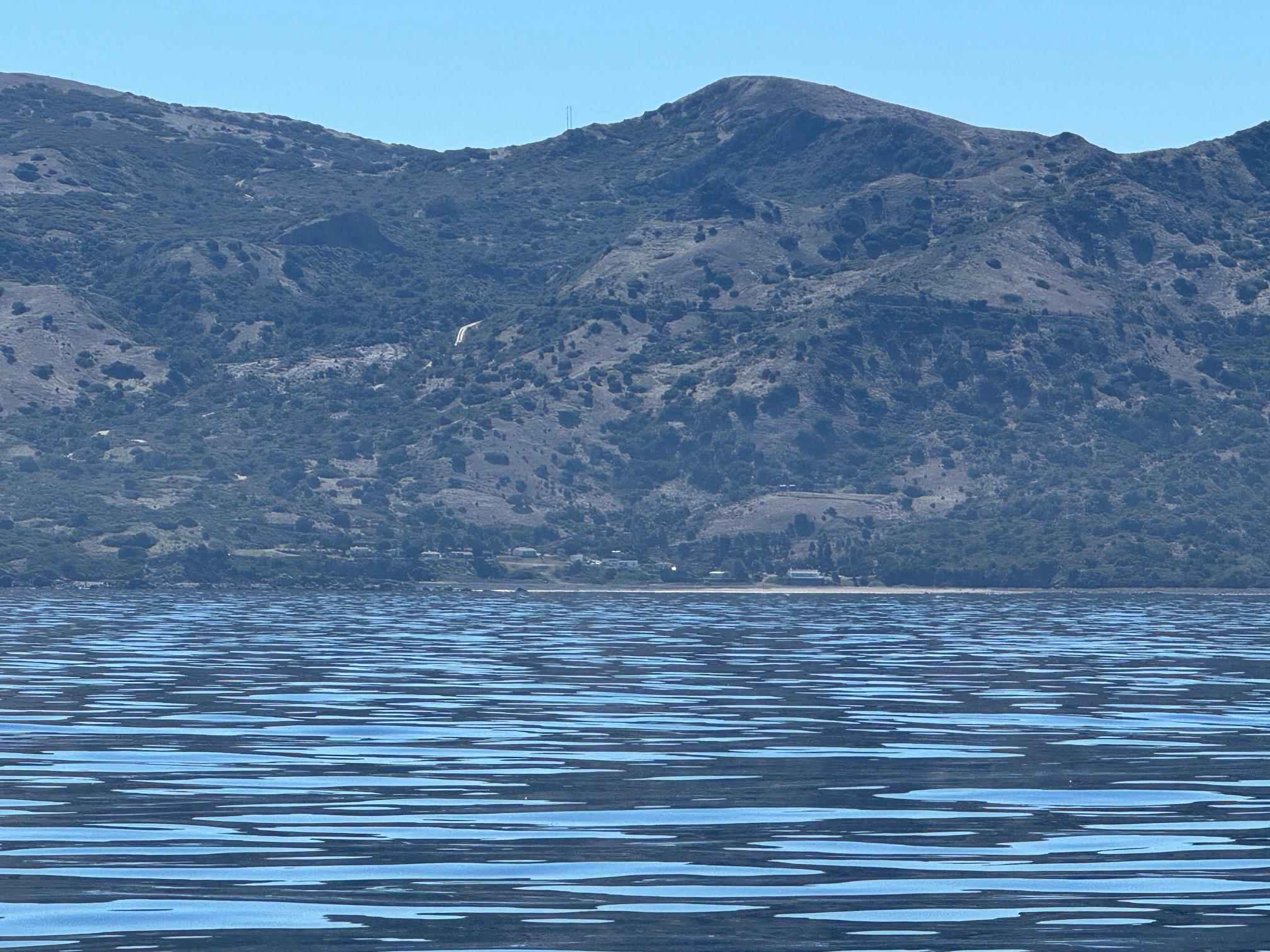
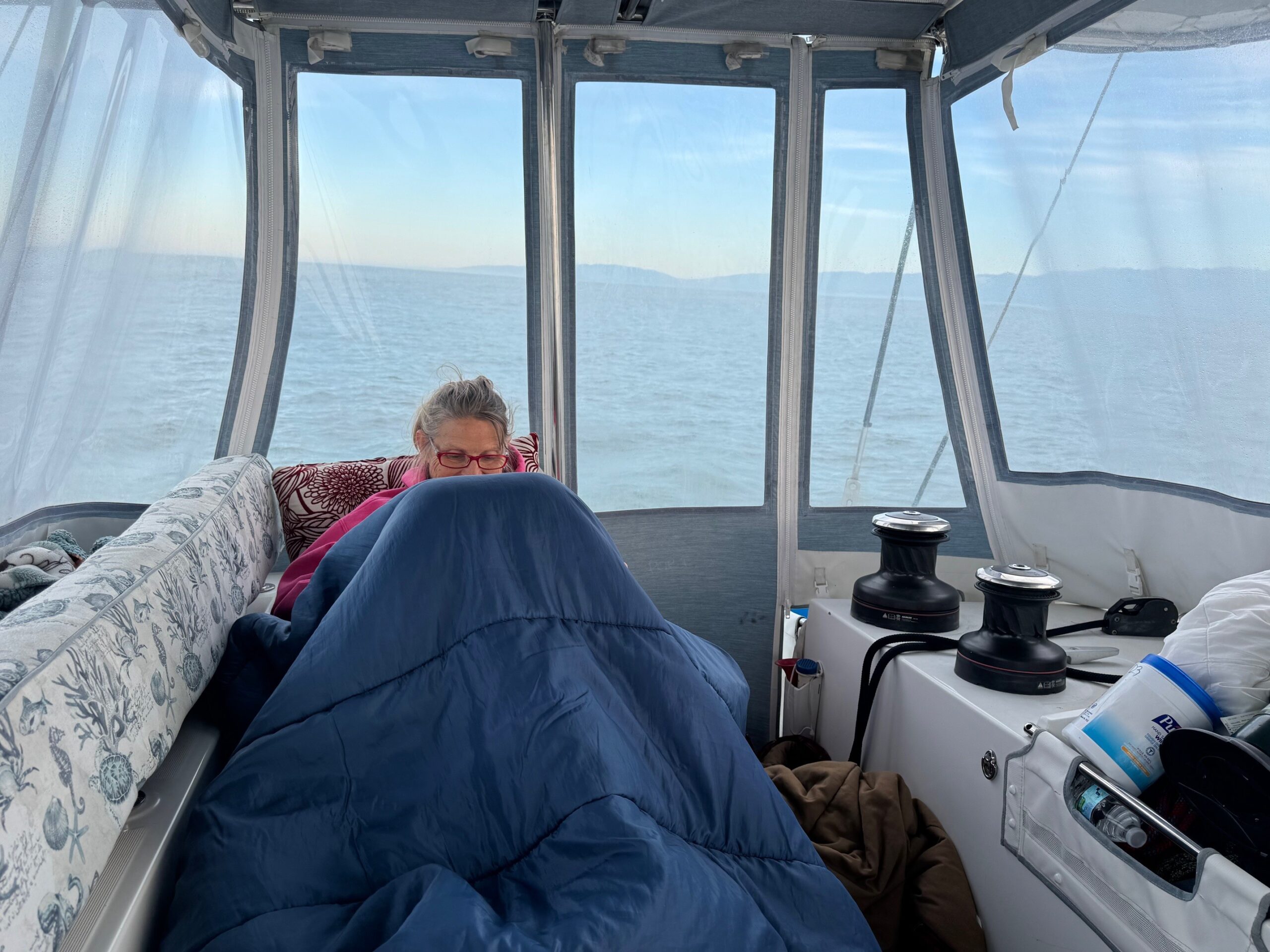
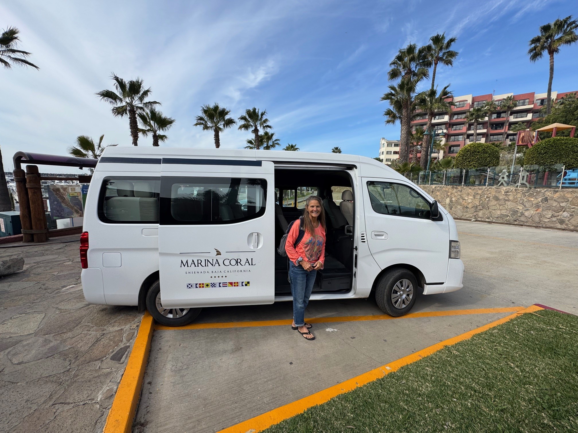
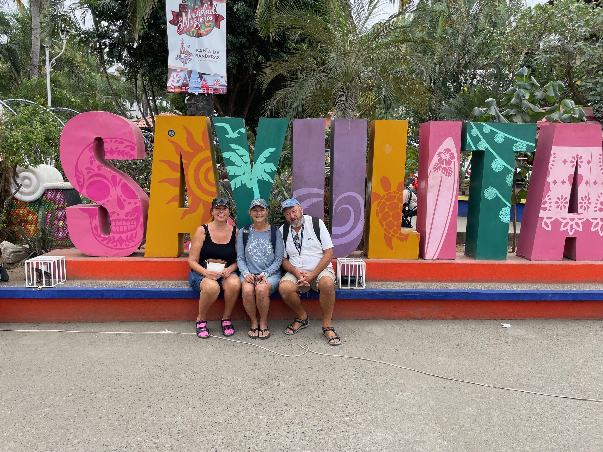
Reaching Ensenada is a big milestone when bashing home – a lot of sailors rush past this wonderful location all in a rush to get home. We are the opposite – we like to stay a few days and mentally prepare for the faster pace of the USA. Our Buddy Boat stopped at the public marina and quickly checked in and out. Becky and I enjoy spending a few days at Marina Coral enjoying the hotel amenities. We have been cold since leaving Cabo San Lucas, so a few hours soaking in the hot tub was welcome, although it feels somewhat artificial when compared to the pristine waters of the Sea of Cortez. We explored the city, ate the last of our Mexican fresh foods (you can not take any fresh fruits, veggies, or proteins back to the USA) mixed with visits to finer restaurants. Marina Coral is not inexpensive, but the staff here is first-rate. Included in your marina rate is a chauffeured drive to Customs to “check out” of Mexico. Once you do, you are required to vacate the country within 48 hours.

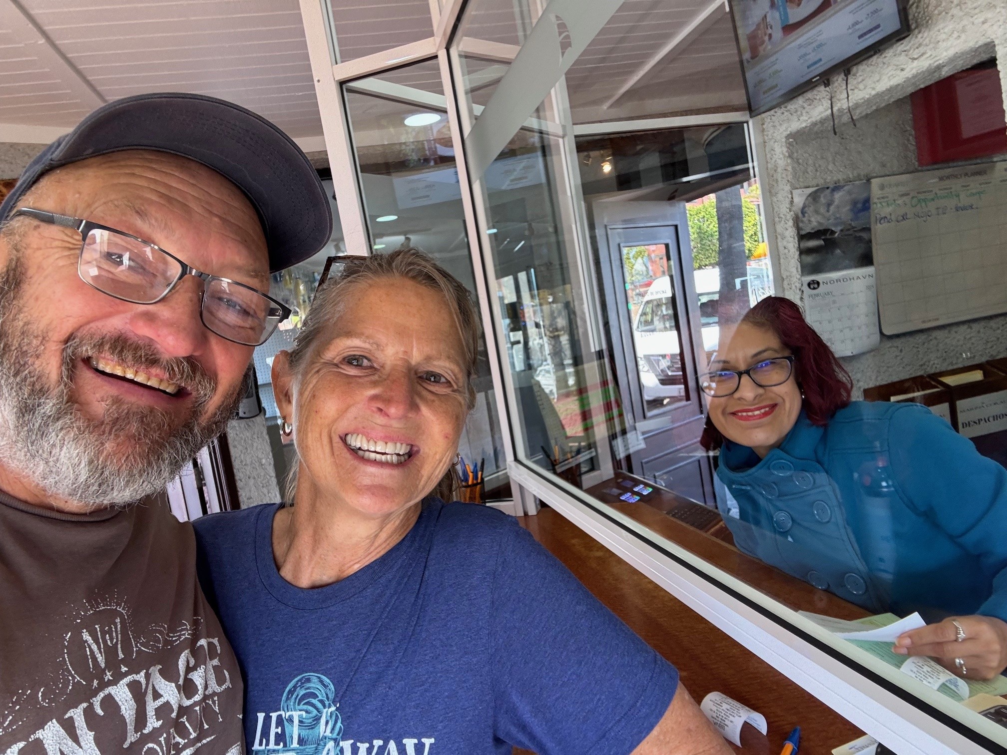
When we entered the country several months ago it was with the Baja HaHa fleet with nearly 300 people. We did not notice that our passports were not stamped. We had all of the other necessary documentation that supported our entry, just not the stamp. After paying a small fine and the entry fee again, we officially checked in and out the same day (none of the other marinas we visited, where you must show passports, noticed the stamp was missing).   Everything fixed with the help of Fabiola (marina manager at Marina Coral) and her staff as they aided in the negotiation with Mexican Customs, we grudgingly departed Ensenada and Mexico for the (approximately) 65 mile motor to the Customs Dock in San Diego. This trip was somber and uneventful – a milestone marking the end of our 5 months in Mexico.

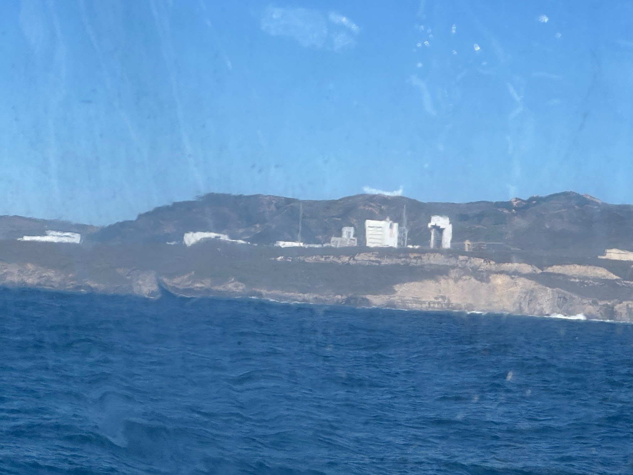
We arrived in San Diego with all the realities mayhem and business of the port of San Diego.   The week before we arrived a military aircraft had lost engine power and crashed right into the channel leading to the customs dock – I thought they would have removed it, but apparently they were using it as a training opportunity and let the Navy Seals perform mock recovery missions on the wreck – they seemed in no hurry to remove it and the entire channel was blocked with the barge and crane that would eventually lift the remains of the jet. After chatting with the guard and checking to make sure it was high-tide, we motored past the channel about 1/4 mile and cut directly into the sea wall, turning left again and following it closely back into the channel behind the barge – if you check a local chart you can get a pretty accurate view of this back-channel and the depth it provides. We arrived at our reserved slip and stayed there another three days. During that time US Customs performed their inspection and we checked back in to the good old US of A!!!

Keeping track of our two other buddy boats at this time; Folie a Deux had passed through San Diego and stopped in Santa Barbara for a few days as that owner had a wedding to attend.   Dolce Vita was still anchored in Punta Baja being watched by some local fisherman while her owner and crew traveled home to consult with some local mechanics regarding her ability to motor the remaining distance.

Posted in Adventure Updates, Chartering, Club, Destinations, Skipper's Tip | Leave a comment

Emerald Sea [Post 7]: Bahia Tortuga

By Jeff Hare, Tradewinds Instructor and owner of Emerald Sea

Bahia Tortuga / Turtle Bay is a planned stopping place for nearly every brasher for many reasons.   First of all, it represents half-way home (at least to San Diego from Cabo).  They have restaurants, fuel, and a couple of good grocery stores.  The biggest reason to stop is that they are a fully enclosed bay with full protection from weather coming from any direction.  You can sleep in the bay to rest and recover for as long as you wish.

Also while here, SpaceX was nice enough to launch some Starlink Satellites and we took a rather spectacular video of the launch and direct flyover of this bay.

Our buddy boats, Folie A Deux and Dolce Vita had arrived a few days before us.   Both having professional crew, Dolce Vita took off early as they had some timelines to meet. Unfortunately they met with some mechanical issues and parked their boat in Punta San Carlos for a couple of weeks while the crew returned to their homes and the owner was able to get back to the United States for Parts.   (Today February 25, the owner is back aboard with a crew member and parts with plans to depart tomorrow).

Emerald Sea and Folie a Deux left as a pair on February 12 while the weather was still harsh.   With big waves and a very strong headwind we motored at the fullest speed possible to the lee side of Isla Cedros and spent the next few hours continuing slowly as the winds died down.   On the Eastern Side of Cedros the winds were still strong so we sailed as close-hauled as we could as far northeast as possible.   The winds died down to their predicted 10 knots and we sailed on to a bay called Punta Colonett with a total distance traveled of 204 miles from Bahia Tortuga.  

Bahia Colonett is just south of Ensenada and a good place to stop if you are coming in to Ensenada a little earlier than your slip reservation.   We stayed their one night and continued to Marina Coral for a few days of Hot Tub soaking and restaurant food.

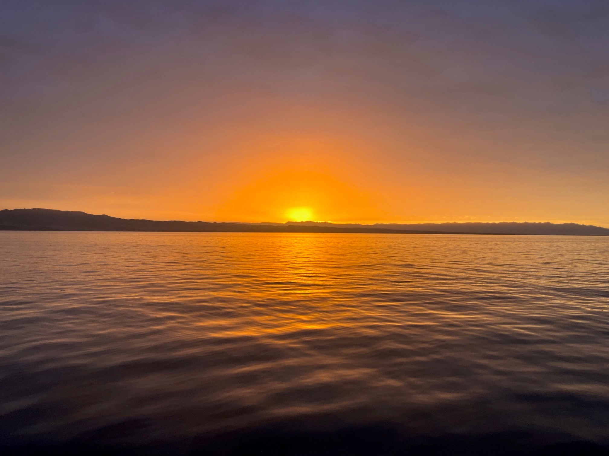
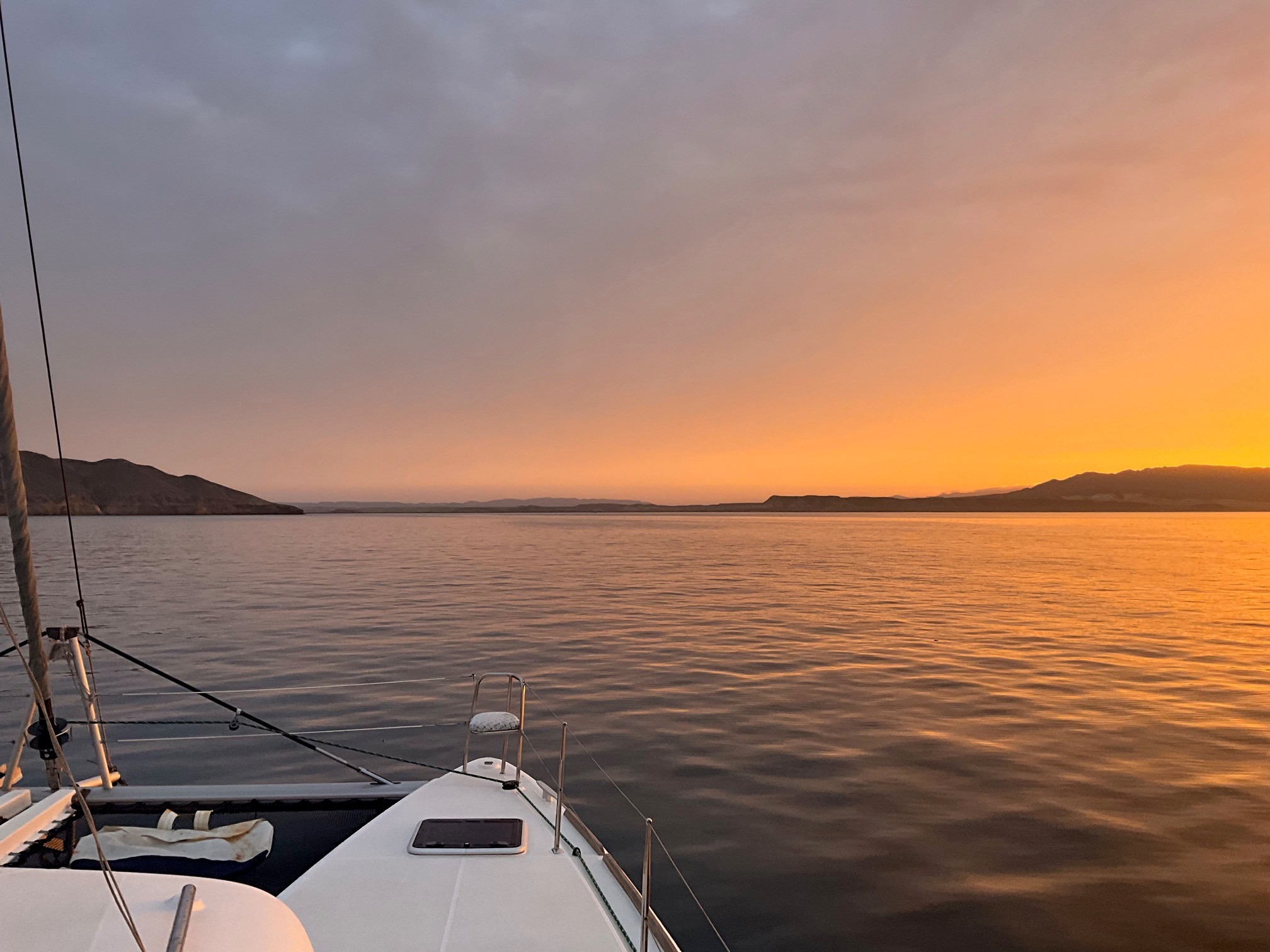
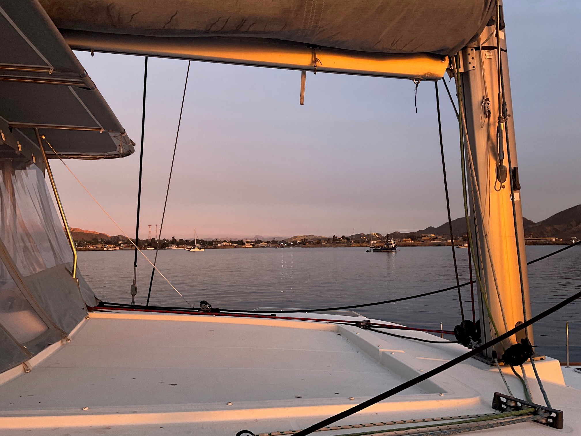
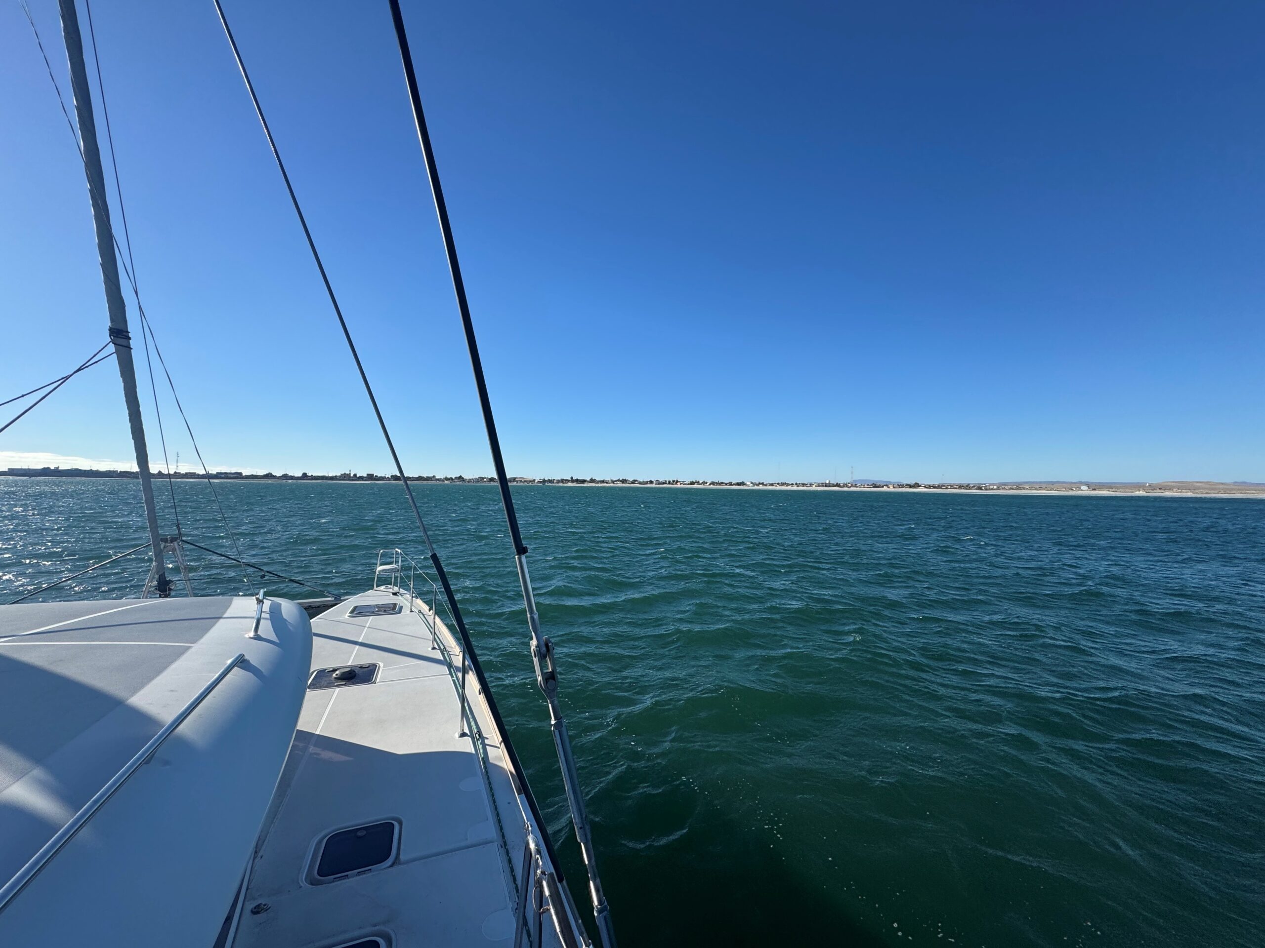
Here are a few sunrise photos…

Posted in Adventure Updates, Chartering, Club, Destinations, Skipper's Tip | Leave a comment

Emerald Sea [Post 6]: Punta Abreojos

By Jeff Hare, Tradewinds Instructor and owner of Emerald Sea

Tuesday February 4 at Noon.

Emerald Sea has just arrived at the little town of Punta Abreojos as I write this – the anchor and anchor alarm is set and I like to sit up for at least an hour to watch it before falling asleep for a well deserved rest – writing to you is occupying a little of that time. With just the two of us, we sailed nonstop from Puerto Vallarta (Marina LaCruz) across the Sea of Cortez to Cabo San Lucas, waited there for a few days as all 3 of our buddy boats gathered, and now sailed up the Pacific Coast of the Baja Peninsula to this town, another 314 miles nonstop over 74 hours.   We are a little sleepy, so who knows what I might write in my barely conscious state…..???

We are joined by boats Dolce Vita and Folie a Deux who all intend to remain in our little fleet all the way to San Francisco Bay.   Both of these other boats have flown their Significant Others back home and brought in experienced delivery crew – only Emerald Sea has just the two of us novices.   So far, so good – we only have another 400 miles to Ensenada, 450 to San Diego, and about a thousand to San Francisco.   Not overwhelming at all!

This being our 2nd year spending several winter months cruising Mexico, we enjoy it immensely!   The Mexican people are honestly interested in getting to know you.   The Xpats, both Canadians and Americans who live here seasonally or full time are always ready to give advice, help in any way, translate, or advise.   The anchorage areas offer uncrowded bliss, remote vistas, and crystal emerald water.   When you need a marina or boat work, these are also top-notch.    We had Emerald Sea’s exterior detail-cleaned and she has never been so spotless (Thanks Aaron and team)!!   Of course with a few hundred miles and offshore hours, she needs to be cleaned again….  Maybe after my nap.

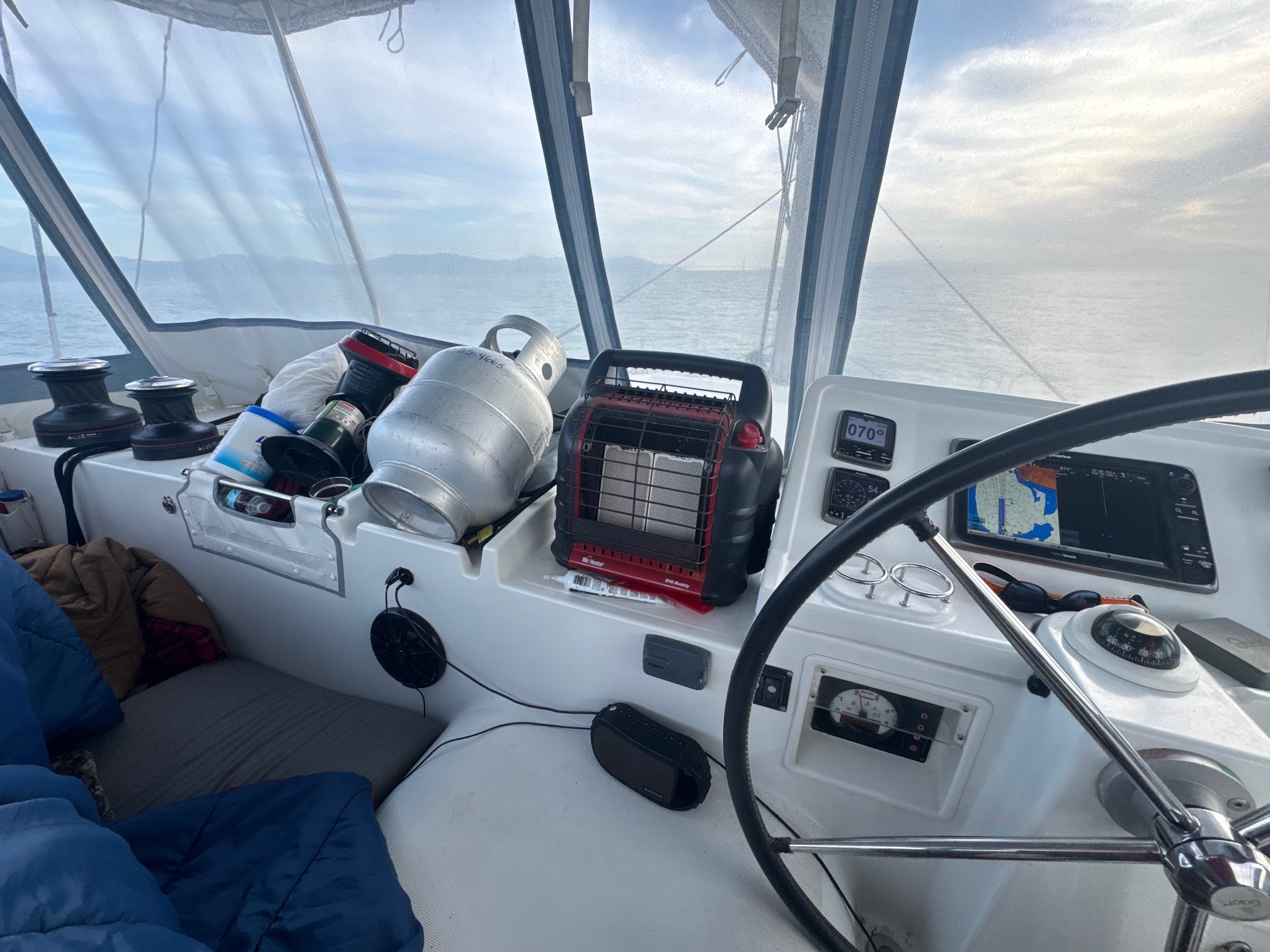
I am very pleased that just the two of us seem to have been able to handle these longer distance segments.   We impose shifts of 4 hours with the off-shift crew person staying right in the cockpit and acting as Watch.

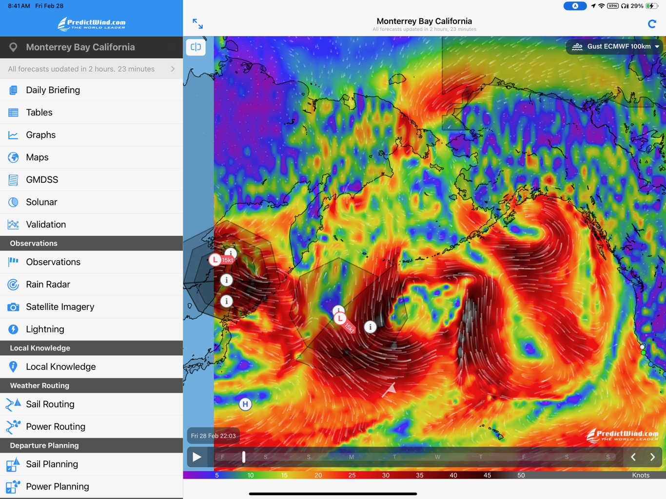
Our little fleet will be anchored here for a few days as the rain you are all getting in California now, will bring high surf and eventually high winds here also – we will try to move the 100 miles north to Bahia Tortuga, but may also be stuck here up to a week while the storm eventually passes.   I’ll update you one way or another.   We will need a 3 day stretch of calm to cross the Bahia Sebastian Visciano to the north.  (The white dot is our current location, the green dot is near Bahia Tortuga, the blue dots are other important weather locations I keep handy and all the red stuff is very bad for sailboats and sailors)…..

If you get your hands on a copy of the February issue of Latitude 38, please see our early cruise summary inside the Bahia de California (the Sea of Cortez) – we hope to spend an entire season there soon.

Also make sure to check the schedule for Cruising Catamaran on the Tradewinds Calendar.   Time is running out, as Emerald Sea will soon be cruising more distant waters…..

Posted in Adventure Updates, Destinations, General | Leave a comment

Emerald Sea [Post 5]: “Gulfo de California”

By Jeff Hare, Tradewinds Instructor and owner of Emerald Sea

Greetings from Emerald Sea in what is still called the “Gulfo de California” (at least I think it’s still called that anyway)….  

After enjoying several months in the warm climate of Mexico, Emerald Sea and her crew of two are starting our “bash” back home with an expected arrival of sometime in March. On February 1st we will be meeting two other boats in Cabo San Lucas to form a small fleet for the trip north where we will share experience, resources, and networking for the thousand mile climb north to San Francisco Bay! I expect to make a few more log entries on the way, so stay tuned!  

What a time we have had! We very much enjoyed the remote living and crystal clear waters of the Sea of Cortez and can’t wait to return! Unfortunately there were not many whale sharks this year because the water is colder than normal. We did enjoy Kayaking and swimming these very same waters while we hiked these remote islands in absolute splendor! If you are or have been a YouTube Sailing Channel patron, you may recognize the name Brady Trautman formerly of Sailing Delos. While at Puerto Escondido just south of Loreto we heard a dingy approach and voice shouting “want some chicken?” – while I tend to decline such offers of random chicken, recognizing Brady who was just completing a charter and sharing their unused frozen food was cheerfully accepted (although the meeting of a YouTube celebrity was more fun than getting the food)… Unfortunately the camera was not easily available and there are no photos.

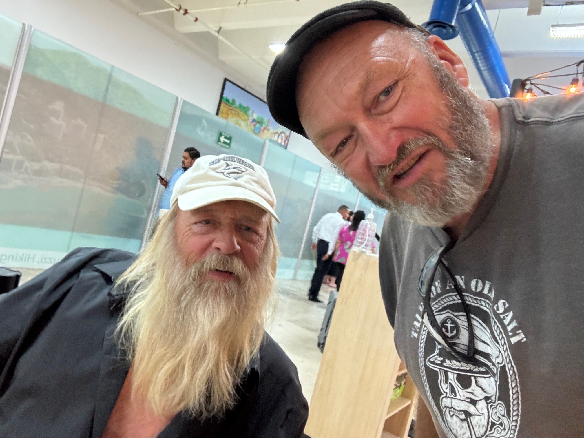
Later on in the trip, having learned from the mistake to meeting Brady Trautman without a camera, this skipper ran into another television celebrity not once but twice! If you are a fan of Gold Rush, Alaska you may know the name Tony Beets. We met at the airport while I was picking up a visitor and got a photo of him at least.

Check the calendar for Cruising Catamaran classes this summer and book your spot. Our decision to sail longer and further is coming soon as we gain more and more blue water experience!

Did you see the next club trip to Tahiti for 2026?

Think of the possibilities!!!!

Posted in Adventure Updates, Chartering, Club, Destinations | Leave a comment

Emerald Sea [Post 4]: “Wish you were here!”

By Jeff Hare, Tradewinds Instructor and owner of Emerald Sea

Sailing Vessel Emerald Sea sends her greetings from Gulfo de California!

We have enjoyed exploring several islands in the Mexican National Park system and highly recommend anyone visiting to just go buy the annual pass at this website as it apparently covers all parks. Because you can’t get it all done in a day, save yourself the annoyance and get the annual pass! The water here is an inviting emerald and you just don’t want to get out of it. Hiking the islands offers vistas that are difficult to describe. I cant tell you what a joy it is to meet other cruisers and swap sea stories. You might hear about the strong north winds – be prepared to hunker down for these as they may last a day or so (this is why we bring books to read), but the calm days between the wind storms allow you to move north toward your next adventure at a new and interesting place.

The wise words of the Grand Poobah are not wrong; “Wish you were here!”…

Another bit of advice: We allocated a month to explore the northern areas of the Sea. That’s not enough! Expect to spend an entire season because there is so much to do and see. Come with patience as you will have to occasionally tuck into a protected anchorage for the high winds coming from the north, but you will be rewarded by several days of mild weather, pristine air and water, and sea life many people only see on television – your next new place to explore is only a few hours away! The air here in the north is cooler in the evening, so we had to occasionally wear long pants, long sleeved shirts, sleep with a blanket, and even real shoes (I hate shoes!)

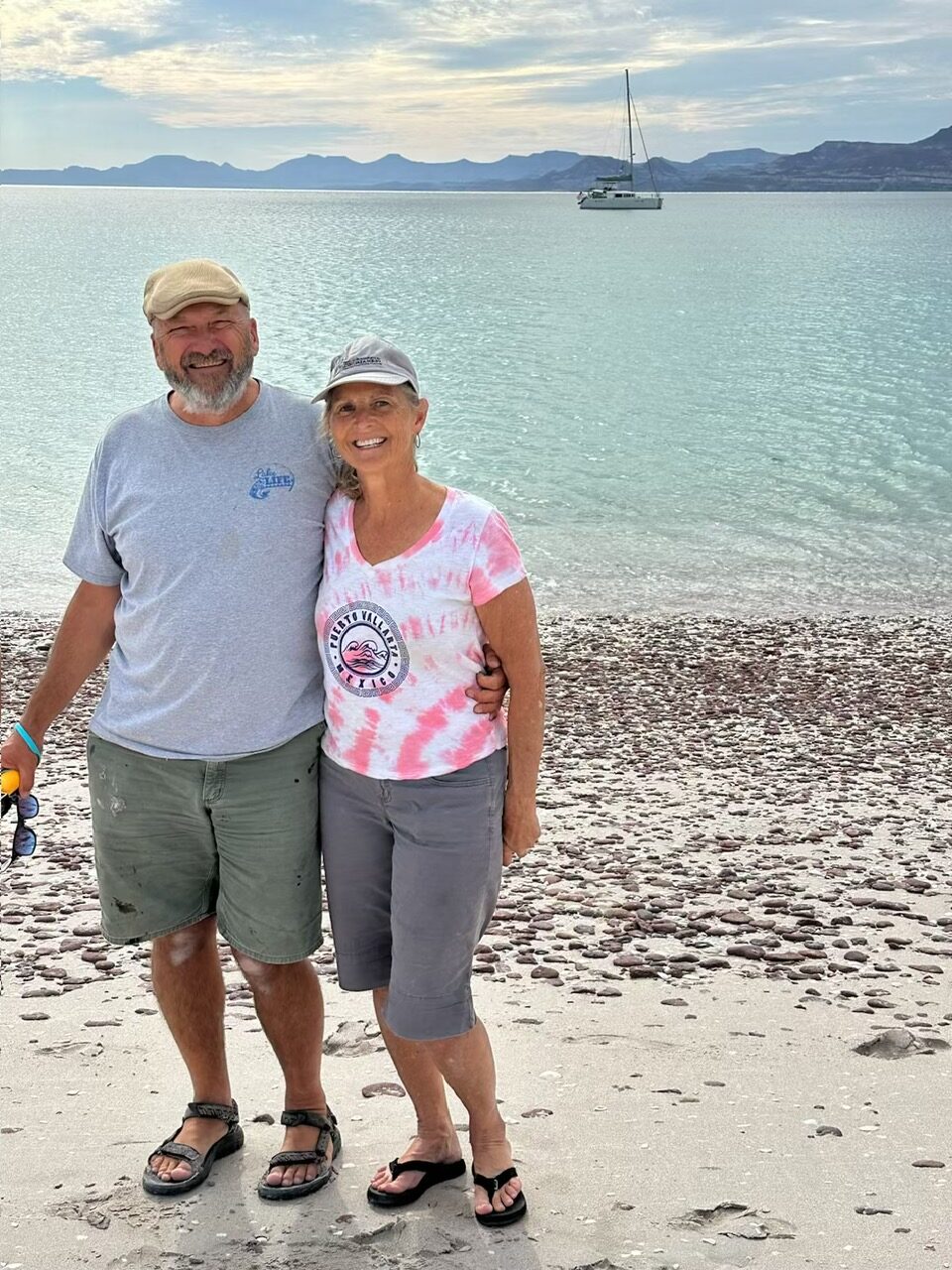
The attached photo encapsulates what I am talking about – Sailing Vessel Emerald Sea on the Emerald Sea of Cortez! While I already quoted the Poobah another appropriate quote from Warren Miller comes to mind (when I used to enjoy winter sports): “Do it! If you don’t do it this year, you will be one year older when you do”.

Posted in Adventure Updates, Chartering, Destinations, General, Skipper's Tip | Leave a comment

Brooks Island Coastal Beach Cleanup Day

By Chris O., Tradewinds Instructor

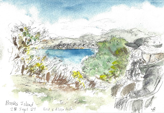
I pass Brooks Island many times as I teach sailing classes admiring the beauty of this mysterious place, at the same time I cringe at the pungent smell of bird poop coming off the windward side which signals to me a healthy thriving bird population on the island. Through my numerous days of sailing on the Bay I only come to its shore once a year.

2024 is the 4th consecutive time I was able to participate in the Coastal Clean-up Day organized by Tony Johnson, one of our own TWSC Sailing Instructors, Matt A., the Island Caretaker, the Regional East Park Service, and Tradewinds!

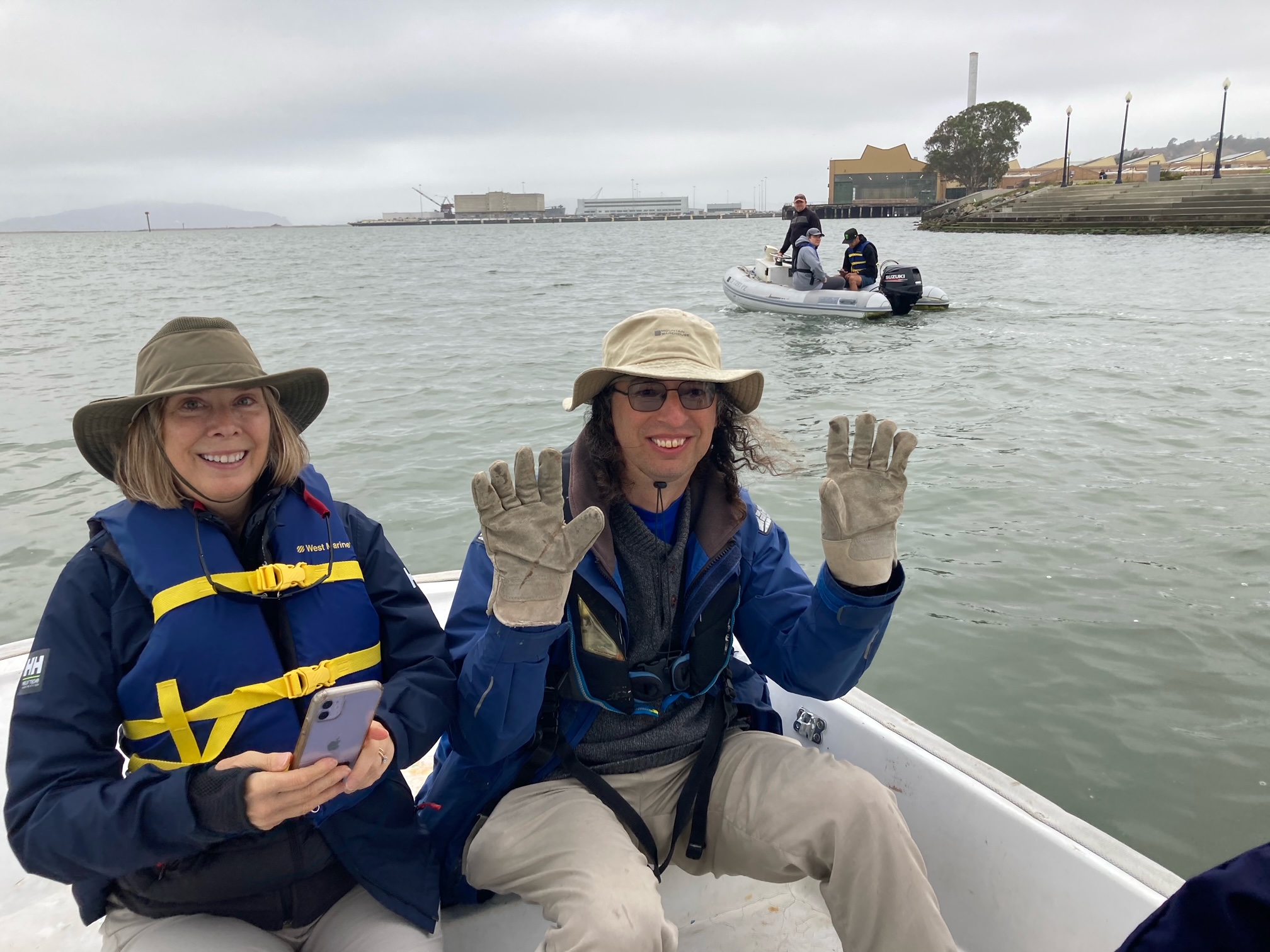
On a cold September morning, a rag tag team of dedicated TWSC sailors and their friends gathered at the Richmond Marina Dock G where we met Matt and proceeded to the island on a zodiac and two motorboats from TWSC.

A light breeze from the Golden Gate made the air crisp and enjoyable, waking up all remaining sleepy heads who did not have their daily dose of caffeine. Thanks to careful planning by Matt, the Tide Gods were on our side this time around allowing us to pass the treacherous shallows as we approached the island dock. Timing is everything and if you don’t pay homage to them, you will run aground and wait until They decide to let you go… if they decide favorably that is.

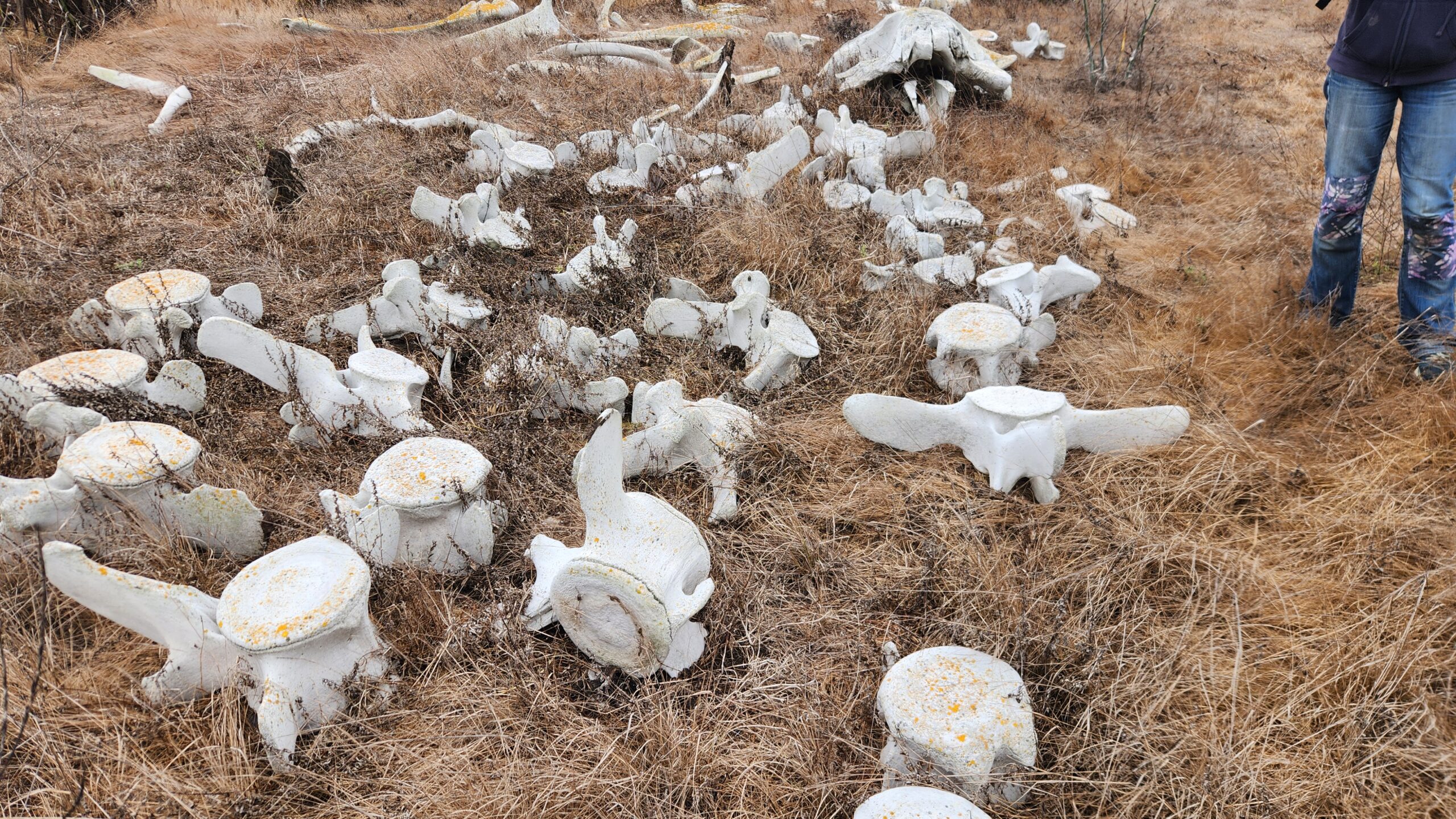
The island is a bird sanctuary and a breeding ground for many species of birds migrating between North and South coastal territories. Based on Archaeological excavation the island was inhabited by Coastal Native Tribes as early as 3000 B.C.

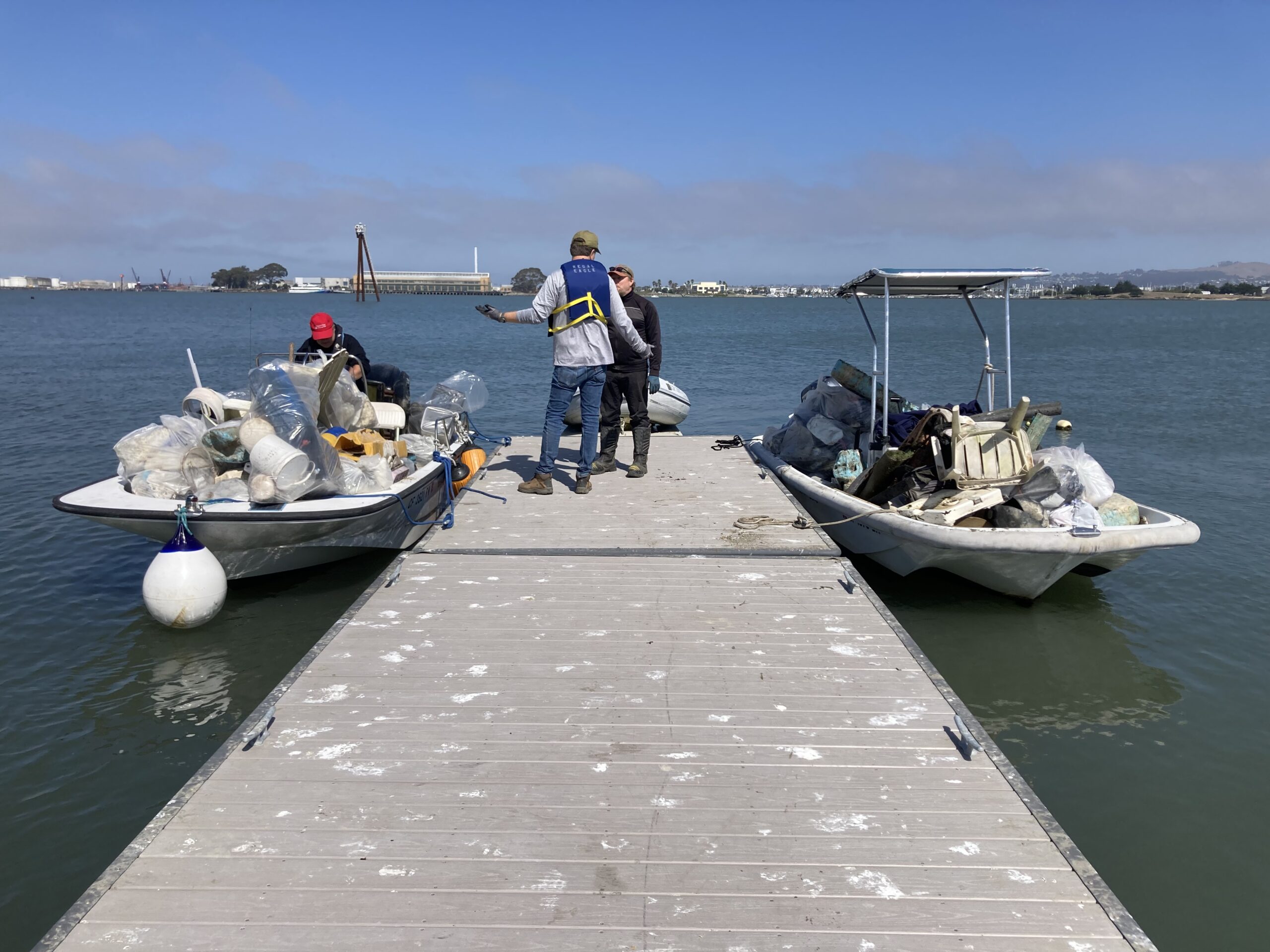
Our group of volunteers were determined to make a difference and clean up the accumulated plastic debris making this swath of land a safer, cleaner place for all its inhabitants. Due to tidal range, we only had a few hours on the island to do our job before low tide settled in for the next 6 hours. By the early afternoon we had removed approximately 30 large 60-gallon bags of plastic trash and debris from the island. Due to Brooks Island location and prevailing winds on the San Francisco Bay, all floating trash generated by people usually ends up here on the shore. It’s a never-ending struggle to keep the island beachhead plastic free, but there are those that will take on the challenge annually.

So, what did it take to make this endeavor happen… a thought.

A few years back Tony had a thought, an idea; he turned this idea into an organized plan with the help of Matt and the good folks at REPS and TWSC, there was no shortage of folks wanting to volunteer and participate in the plan to make a difference, myself included.

Over the four years Brooks Island beachhead has turned around from a place filled with floated garbage to a local jewel, a quiet beautiful quaint beach nestled in the busy San Francisco Bay.

So, what’s in it for me you ask…

For me, the next time I teach my students tacks, jibes reefing sails, COB’s maneuvers next to Brooks, the ever so pungent smell of bird poop from the windward side will remind me that I was part of a greater difference, which allowed birds and nature to return and flourish, making the San Francisco Bay that much nicer to sail and enjoy as a sailor…and the smell, well you get used to it after a while. 😊

Posted in Adventure Updates, Club, General | Leave a comment

Sailing Odyssey

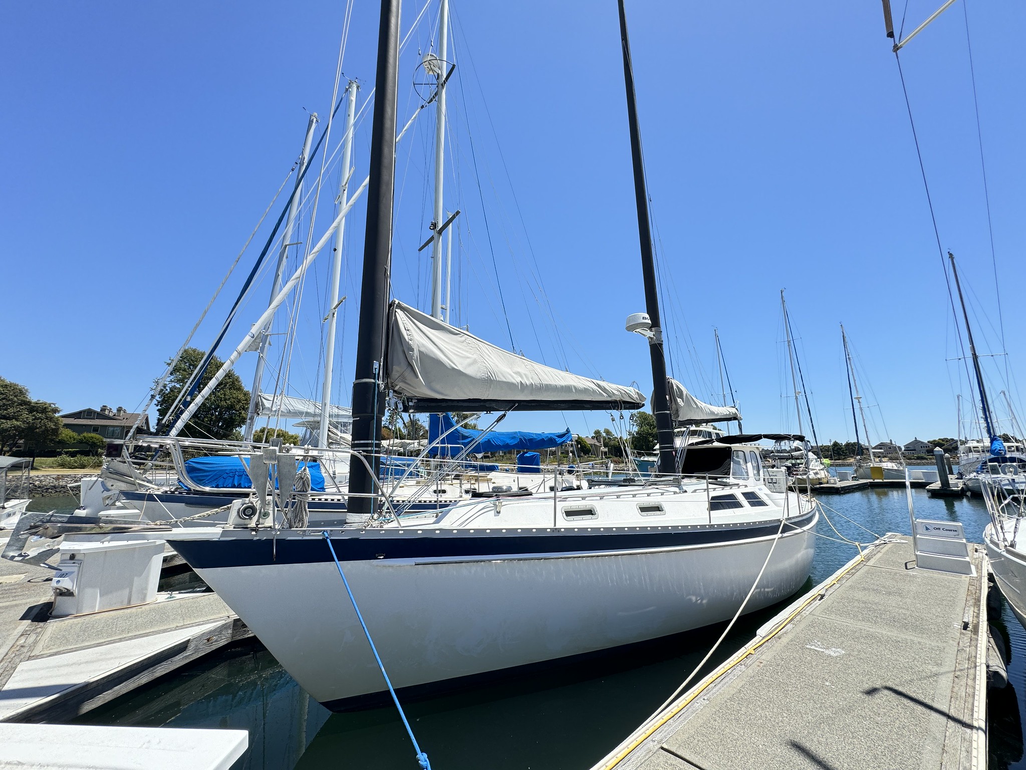
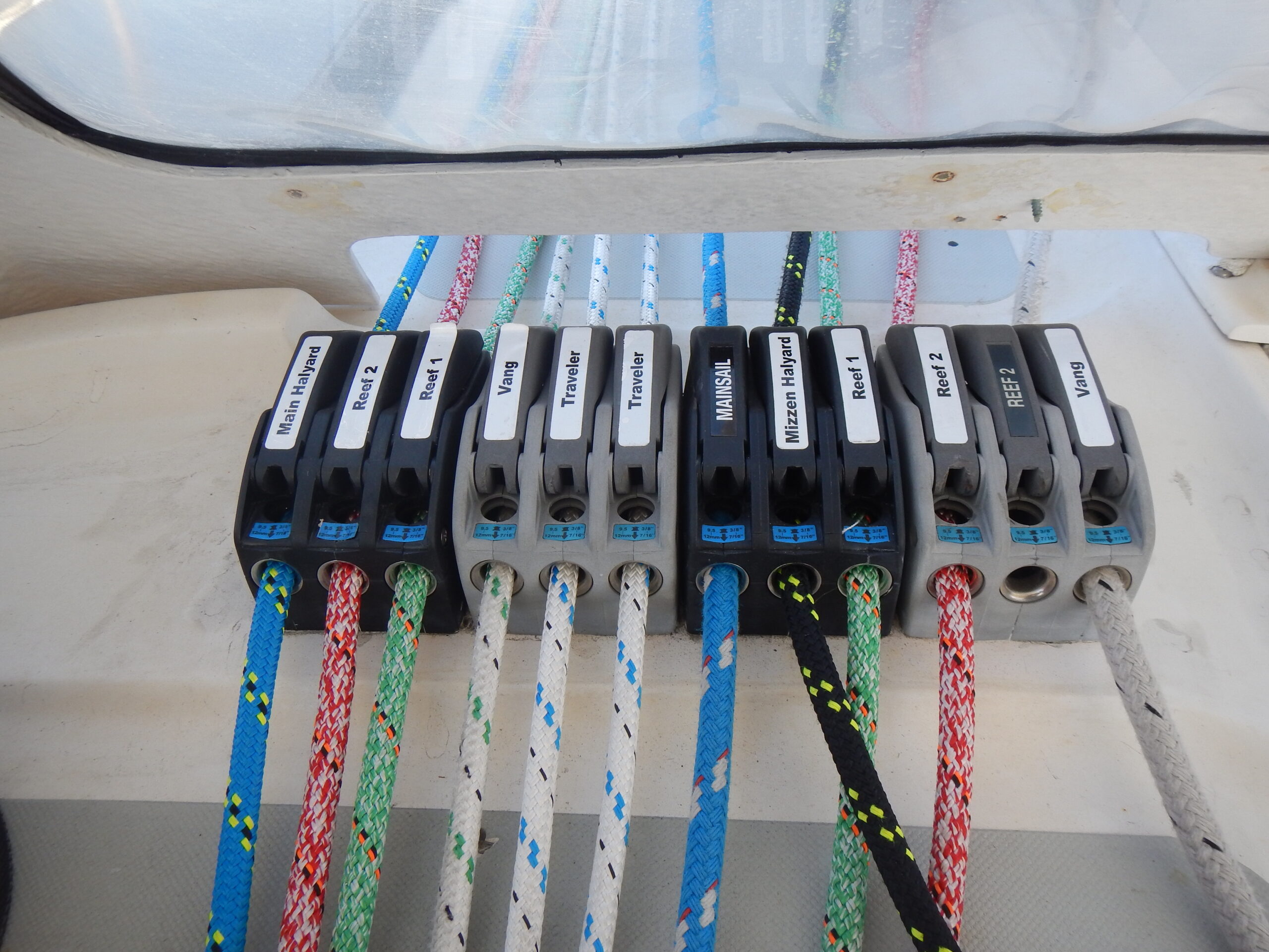
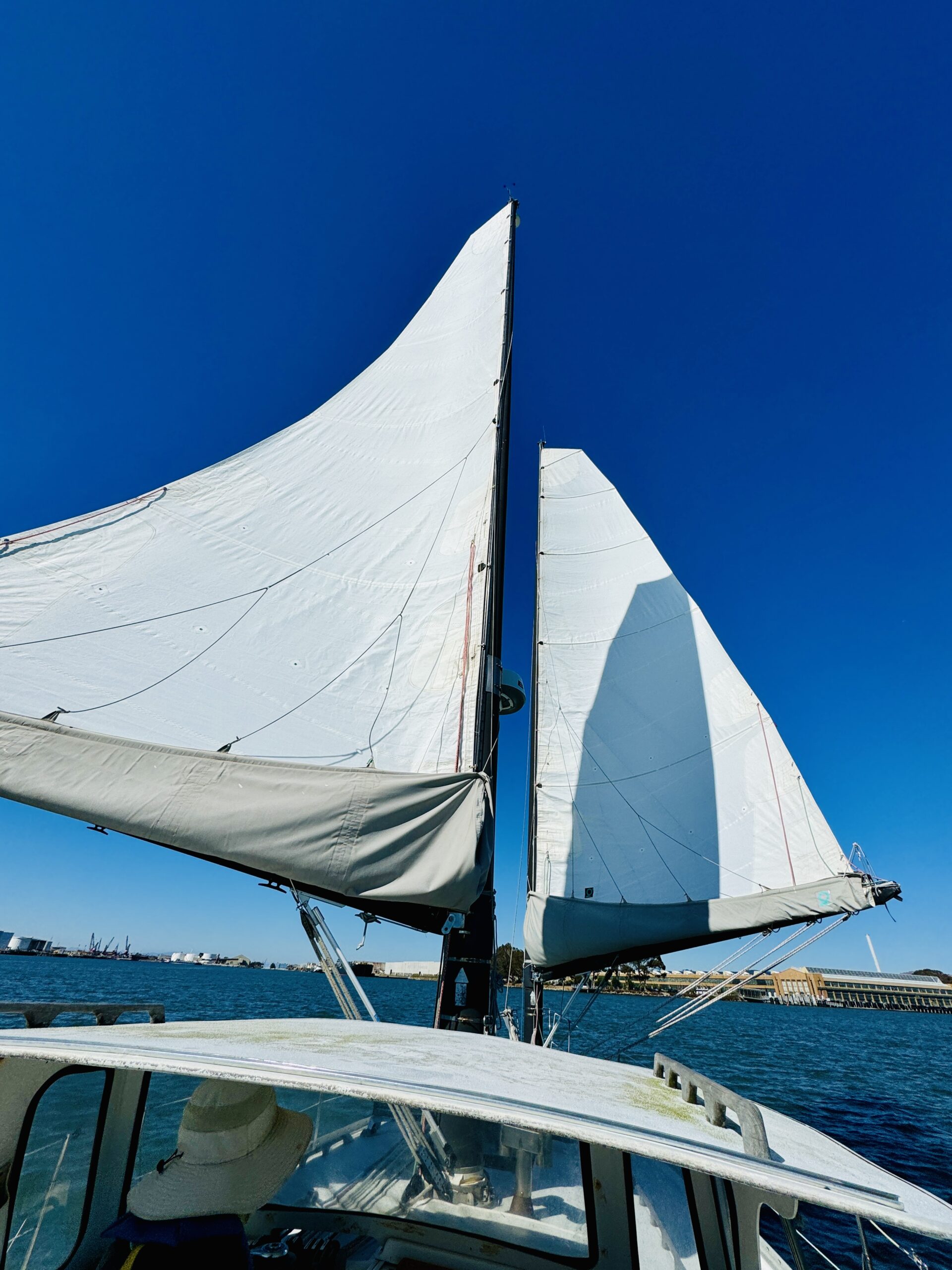
Since Odyssey joined the Fleet, I immediately thought: “Nope! That’s just too much boat for me.” From the multiple masts and lack of jib, to the sturdy dodger and the slew of lines in the cockpit, it seemed beyond my capacity. On top of that, I had heard and seen a few instances where getting into the slip was a challenge. Naturally, because that’s how the universe works, I found myself on the schedule to teach its next checkout. So, I reached out to the owner and fellow instructor, Carlos, for a private checkout of my own. And, let me tell you, it was nothing like I anticipated and a truly wonderful sailing experience.

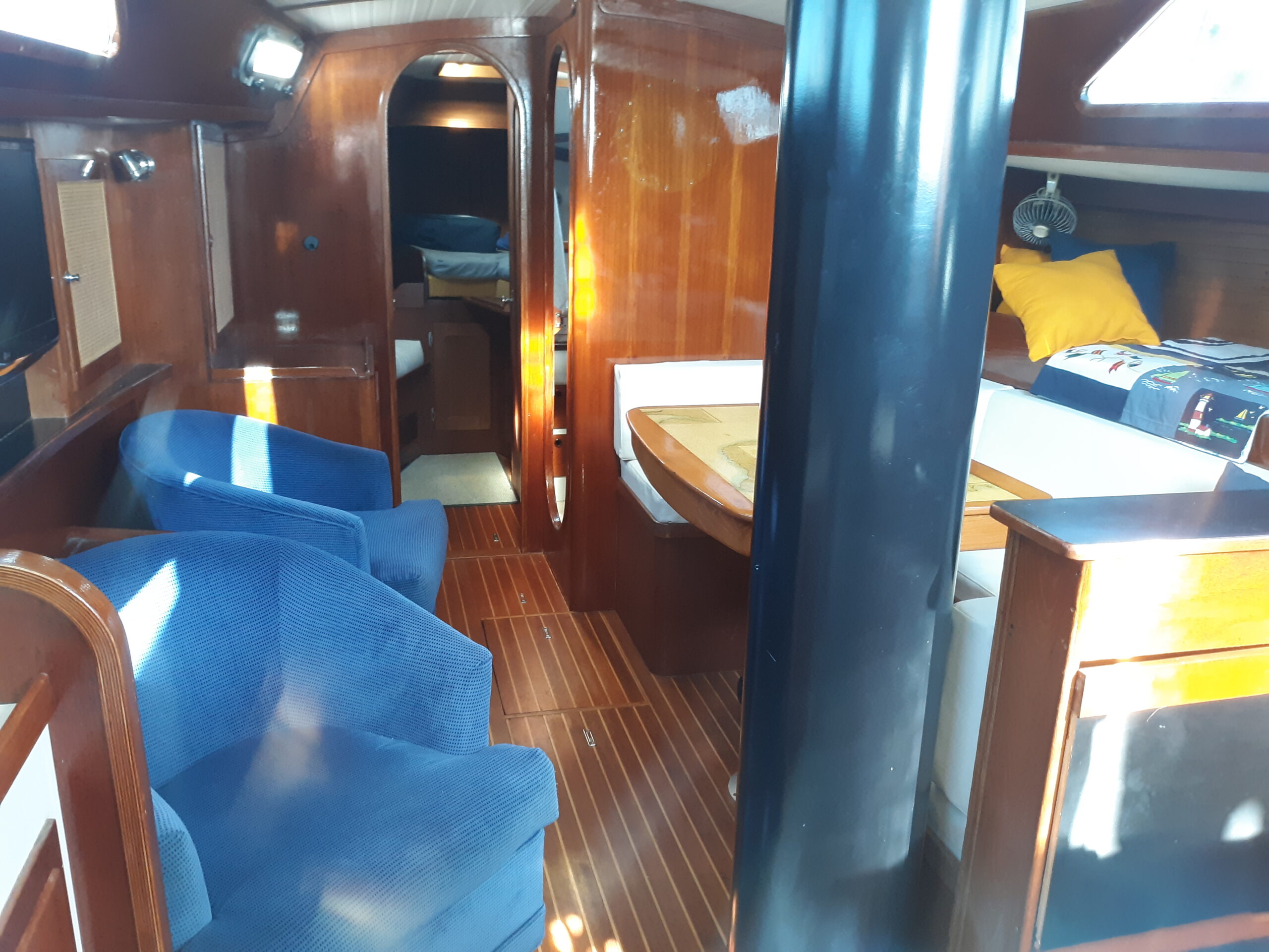
To start, we walked through the checkout sheet together. If you haven’t been below on this 1986 Freedom 39, she is beautifully outfitted with swivel chairs, spacious berths, and a roomie banquet/table. And the engine compartment has easy access from the galley and aft locker.

Once the checkout was complete, I could feel my nerves increase knowing that our slip departure was imminent. With some great tips from Carlos, however, I took us out. Similar to most boats in our fleet in a downwind slip with wind from the southwest — starting on the starboard stern, we worked our way around the boat and cast off our lines, taking the forward spring line to the bow to keep us centered in the slip, and stared out. Now, you might be asking yourself the same question I had which is: “If you start your turn when the mast clears the end of the slip, what do you when you have TWO masts?” Well, the answer is: between them. In fact, a good indicator on the boat is the traveler for the main mast (the forward mast). The traveller for the mizzen mast (aft mast) is when the mainsheet just behind the helm. One important thing to note is that Odyssey is heavy and doesn’t respond quickly under power, so having a little extra throttle to come out of the slip is key. As you clear midships and turn the wheel full to port, you might feel as though she won’t turn. Be patient. She will. And she did!

And now for the best part, the whole reason we all sail…the sailing part! Each sail has two reefs, a halyard, vangs, and a sheet. Pretty standard. So, we approached windy corner and started hoisting. Order of operations? Main first, then mizzen (reverse to drop sails). Now, here is the only slightly challenging part of the charter. It’s a lot of sail and you have to be careful not to get the battens stuck in the lazy jacks as you hoist. However, once they are up and you set them, you get to sit back, relax, and enjoy everyone you pass looking at your vessel in awe. The best part? Tacking is SO EASY! You never have a jib to contend with. And, when it comes to being on a run, with no shrouds, you can easily set yourself wing on wing.

Coming back in was what I had feared the most. As it turns out, it was just like any other docking experience I’ve had. Pro tip: if you need a little help getting the stern to port to line yourself up better coming in, give it a little kick in reverse and the prop will set you up for a perfect landing.

All in all, my experience was nothing like I had anticipated. It was a lot of fun, way easier than I had imagined, and not scary at all. I highly recommend you do a checkout on Odyssey and enjoy this stunning cat-rigged ketch.

Posted in Adventure Updates, Chartering, Classes, General, Skipper's Tip | Leave a comment

Safe To Go

There is really no such thing as safe to go; if you want to be safe, don’t go. Said Saint Thomas Aquinas seven centuries ago: “If the highest aim of a captain were to preserve his ship, he would keep it in port forever.” Actually, even that won’t work. And that’s not why we build ships.

Now, of course there are easy sails, many blissfully so. The problem is that in advance, you just don’t know which ones they are. I’ve gotten into terrifying trouble right at Point Potrero, or next to my mooring in Tomales Bay, saved by what I like to flatter myself is seamanship, but equally credited to a benign nod from Poseidon. You’ve chosen to be a sailor, and that means that although safety is a priority, you don’t choose to be safe and comfortable at the expense of a mundane and prosaic existence. You’re willing to take some calculated risks for the sake of adventure and challenge. But if you’re going to seek adventure, it’s a good idea to bring your brain along, just in case.

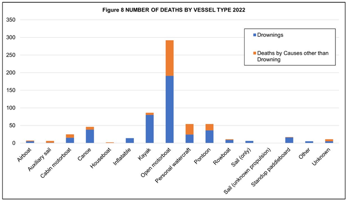
Compared many things we do all the time, sailing is quite safe. You’re many times more likely to have a serious accident driving to the marina than on the boat. And among various types of boating, sailing is among least risky. According to the Coast Guard, canoes are more dangerous:

Nevertheless, the prudent mariner takes nothing for granted with regard to safety. Now I’m not superstitious and do not adhere to the precautions of sailors of yesteryear, like prohibiting bananas or never leaving on a Friday. But still. When I get ready to untie the lines I’m reminded of the great Jerry Rice, who dressed meticulously before entering a football field to do battle and get muddy. If I’m about to go face the sea, an adversary much more formidable than some mere flesh-and-blood competitor, I’m gonna get myself ready.

The best way to be a safe skipper is a bit of a catch-22. You do it by sailing. The more you sail, the better you will be able to manage the boat without becoming overwhelmed when things go all ahoo. Spending time with every seemingly minor detail you are taught by Tradewinds contributes to your being safe to go.

More specifically, Tradewinds requires completing a checklist prior to departure represented by our acronym, “safe to go.” But if you charter elsewhere, you may not have such a list to jog your memory, and that’s when having memorized “safe to go” comes in handy. Many of these are mechanical items, often checked off perfunctorily. But is the skipper safe to go? Does he or she understand how to use all these things quickly in an emergency? Of all the gear on board, nothing is as important to the safety of the boat and crew as the mind of the captain. It’s also the most likely to malfunction.

……………………

S is for safety gear. In over 40,000 miles, I have used few of these; but I’m certainly glad I had them aboard. As Brandy’s dad Butch, a great sailor, is fond of saying in a phrase worthy of Captain Ron, “It’s not a problem until it’s a problem.”

We are required by the Coast Guard to have certain gear. In addition to those sensible items, the competent skipper will check the boarding ladder, first aid kit, wooden plugs, radio, anchor, boat hook, extra lines, charts and the tools to use them, and compass. It is not sufficient to merely check a piece of gear off the list. You need to be able to clearly explain it to your crew when things get dodgy and your mind is flopping around like a wounded snake. Panic in the face of the skipper is not a look that inspires confidence. Two examples of things you should inspect, in case their deployment is not as obvious as you may assume, are the main anchor and the emergency tiller, so be sure to familiarize yourself with these. When things go pear-shaped, these will have to be deployed without hesitation. That is not the time to be figuring out how they work.

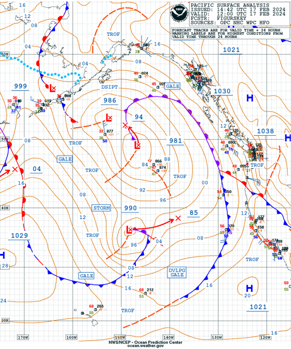
A is for atmosphere. In San Francisco Bay we have two major weather patterns, summer and winter. Fall and Spring are a mix of the two. It’s easy enough to check the weather for any given day, but knowing the reasons behind the weather in the forecast may help visualize what is happening and respond to predictions. This can be confusing with regard to a small craft advisory. In the summer, our prevailing wind in the Bay is caused by the heating of the Central Valley, which creates a thermal low when hot air rises after the ground heats up in the afternoon. This sucks air through the Golden Gate, the only gap from the ocean through the coastal mountains, and into “the slot,” and when this is strong it triggers a small craft advisory. In the summer, while the breeze at the city front may be in the mid-twenties, you may see only ten knots in the Oakland Estuary which is hidden from the venturi around the Golden Gate. The great thing about this is that in the summer, you can pick your conditions. Not so in winter, when the Central Valley doesn’t get hot. The weather we see will be part of the larger, synoptic pattern, so the results are not so easily managed. In the map below you see a front extending from Alaska to Mexico, which will bring wind and rain to the entire Bay as it heads east. There will be no escaping to Oakland; the small craft advisory will pertain to the entire area.

If you charter abroad, your charter company will almost certainly help you with local weather.
If you cruise privately, however, you’re left to your own devices. You should learn how to read a weather chart like the one below. If you have Starlink, these can be viewed online but if you don’t, there are other ways to do it. You may have to rely on local VHF weather, which may be in a foreign language. You’ll have to do some homework on your alternatives in each area.

F is for floorboards. This means checking automatic and manual bilge pumps, and locating each thru-hull valve so that you can find them in the dark. I don’t wish to alarm you, or maybe I do, but if one of these is left open and the hose somehow fails, you need to check them all immediately. If enough time has passed so that there is water in the boat submerging the valves, you won’t be able to see them and it will take too much time to try to figure out all the locations by looking at the manual. You need to have a map of them in your mind before you leave the slip. All but the valves for engine cooling, and for the packing gland if fitted, should be closed when underway and not in use.

E is for engine and here I also include electrical. Do your engine checks, safely disconnect shore power, and make sure the VHF is on and set on channel 16. A cautious skipper will inform his crew, briefly, how to use the radio in an emergency in case the captain is injured or occupied. Nowadays, the Coast Guard may ask for a mobile number to continue a call. This gives you the advantage of being able to move around the boat and attend to things instead of being stuck by the VHF.

T is for tides and currents. Know how to use the tide book to adjust tide time and height for Richmond, or for where you plan to sail, particularly if this is to shallow Richardson Bay, Ayala Cove, or Clipper Cove. Adjustments are found at the beginning of the tide book, on pp. 11-13 in the current edition. For currents, check pp. 50 and following for min-charts of the bay. These show, graphically, the flow of the current for every hour during the tidal cycle. You need to be familiar with using a tide book, even if the app on your phone is your preferred method. The way our book works is the same way they work in French Polynesia and the Mediterranean. If you have no Internet, the book is your fail-safe.

O is for on-deck rigging. Make sure you know which lines are which, particularly the reefing arrangement. At least one person besides the helmsman will be required for this procedure, so make sure your crew understands the lines, and that you understand them well enough to describe the procedure step-by-step to crew if you need to stay at the helm.

G Check the fuel level.

O Check the steering, and find the emergency tiller. Don’t just locate it; install it. They are all a bit different and some are counter-intuitive. On Papagayo, for example, the tiller is reversed, so you’ll have to steer backwards from what you’re used to. Try to avoid putting yourself in a situation where you have to back up the boat using this arrangement, as with a truncated tiller you won’t have the necessary leverage to control the rudder.

Being safe to go isn’t just about mechanically checking off these boxes. It is centered in the knowledge of the skipper, who is satisfied that all the necessary preparations to keep the boat and crew safe have been attended to. The confidence that results will be clear to guests, and will give more comfort to those unfamiliar with boats. The lack of confidence that comes from a hasty and ill-planned departure will also be recognized by them. They will not be put at ease by it.

Posted in General, Skipper's Tip | Leave a comment

Let ‘Em Fly…Or Not!

In the footsteps of Don Gilzean, Craig Walker, and Tony Johnson, I’m stepping up to share some important tips as we see the need from our clubhouse vantage point. And the biggest thing we’ve noticed lately involves…furling! 

So, let’s start at the beginning. Letting out your jib (OR furling main). The key to both is back-pressure or “tailing” of the furling line as you ease out the sails, but let’s go back a little further. 

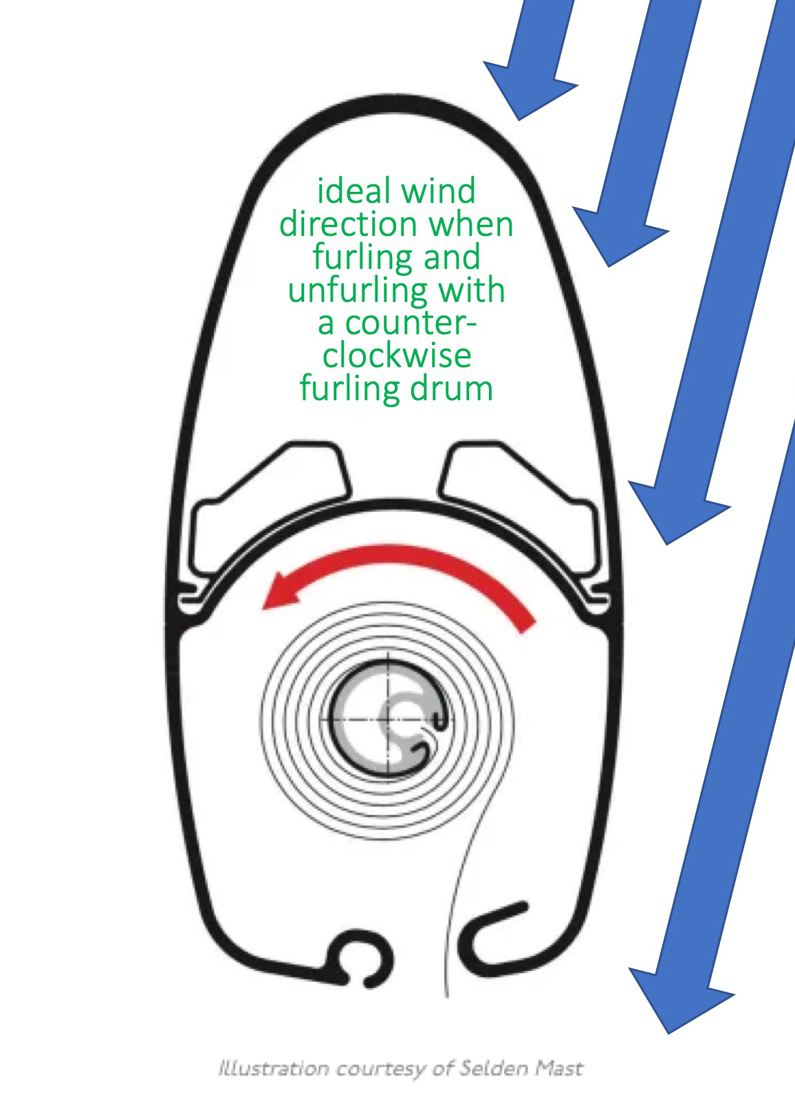
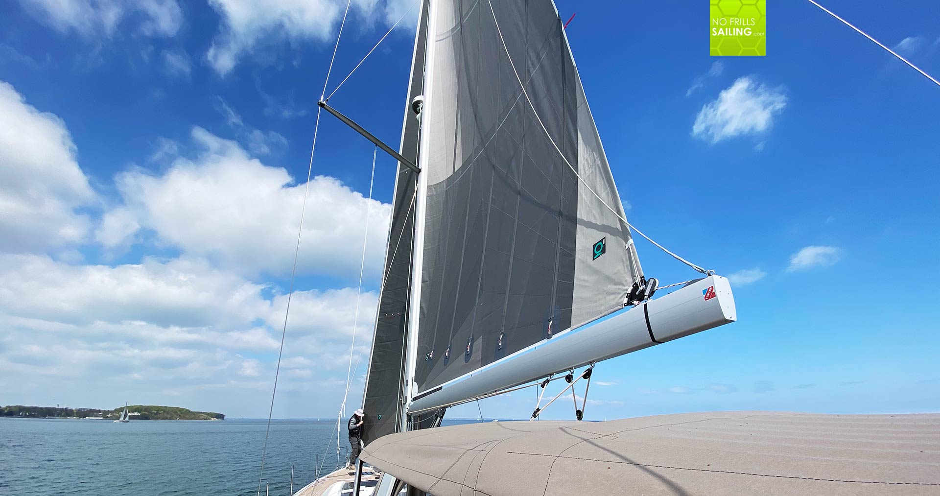
Unfurling the Main: You’re head to the wind, you have your boom vang released completely, you have some slack in the main, and you’re ready to start pulling on that outhaul. Right? Wrong. Most furling mains (you should always check) wrap counterclockwise in the mast (see image below), so the best angle to the wind is a few degrees to port to let the wind help the main out. The other equally important component is the backpressure/tailing mentioned before. As you are pulling on the outhaul, have someone else apply just a little tension on the inhaul. That way, the main won’t come loose in the mast and get stuck, which is never fun. Doing it this way should be easy to do by hand – no winches! Never force a stuck sail by grinding away on a winch. 

Furling the Main: reverse the above, but with one difference. This time, look at the sail and put equal tension on the foot and the leech. If one of them is looser than the other, the sail will have wrinkles in it while it is rolling into the mast. Adjust the boom vang or mainsheet as needed to keep equal tension on them. 

And now the Jib! What we see and hear consistently is that you have to get your main and jib out at the same time, head to wind, to sail. Not true! There’s a classic saying in sailing that goes, “Raise sails aft to forward, dowse them opposite.” Get your main up, bear away ideally to a beam reach, and then let your jib out. The wind will help, and you won’t be too overpowered – as you might be on a close haul.  

The key thing to remember here, again, is tailing/back pressure on the furling fine as you pull on the working jib sheet. This may involve finding something to wrap it on, like a cleat, so that the pressure doesn’t pull it from your grasp (or burn the hands of your crew!) 

Lastly…furling the Jib: often, the response to the steps of jib furling is “head to wind.” But, if you head into a good, stiff, summer breeze to furl the jib it will take the wind pressure off, but it will also turn into a flag and flog relentlessly. When the jib is flogging, we are reducing its life. Jib sheets are also flogging and can break dodger windows, are hard on blocks & rigging, and are a danger to crew. Instead, head down-wind, almost on a run. Have you ever tried to steer downwind and found yourself heading back up to keep your jib from collapsing? This is because the main is “blanketing” the jib from the wind. On this point of sail, you’ll be able to furl the jib with very little effort.  

And now, reverse the tailing process – applying back pressure on the working jib sheet while pulling on the furling line! 

So, can we answer the question in the title of this post? I think so. 😊 

Happy sailing!

Posted in Chartering, General, Skipper's Tip | Tagged , | Leave a comment

Some Tidal Astronomy

In the left column of the daily pages in your tide book, you’ll see the phases of the Moon, and in the columns to the right of a full and new Moon, you’ll see that some of the heights are in bold, since they are higher than average and called “spring” tides. When the Sun and Moon and Earth are aligned in either a new or full Moon, the gravities of the first two can be thought of as additive, and spring tides result. When the Moon is perpendicular to a line between Earth and Sun at a waning half-Moon (the left side is bright), or waxing half-Moon (the right side is bright), we have “neap” tides, which are lower than average.

Tidal heights are measured relative to a refence sea level or tidal “datum,” which is mean lower low water. This datum is determined by empirical observation of the tides over a period of nineteen years at, for example, Tide Station Golden Gate, the oldest continually operating tide station in the western hemisphere. This is called a tidal epoch.

Golden Gate tidal gauge

But why nineteen years? This video shows some of the complications of the Moon’s orbit. It’s an ellipse and is tilted approximately 5° to the plane of the ecliptic, while the Earth itself is tilted 23.5°. In addition, the line of the apsides, which is the line between the Moon’s perigee (closest point) and apogee (farthest point), rotates around the Earth in a period of 8.85 years, which is called the “precession of the apsides.” The plane of the orbit also wobbles, like a plate settling on a table, in a retrograde direction every 18.6 years. This is called the “regression of the nodes.” These variations in the Moon’s orbit change the Moon’s effect on tides, which is why NOAA uses a “mean” or average height of tide over nineteen years to enable a steady reference. (The Greeks noticed a similar but not directly related period of the Moon’s orbit, discovered by Athenian Meton in the 5th century BC, and so called the Metonic cycle. Babylonians, Polynesians, and native Americans observed this, too.)

The Earth’s seasons occur because although the Earth’s tilt doesn’t change as it orbits (or only over a period of 26,000 years, which we can ignore), it either tilts at 23.5° towards the Sun in northern hemisphere summer, or away from it in northern hemisphere winter, and this affects the amount of gravity the Sun directly exerts in different parts of the globe. The Earth’s orbit around the Sun is also an ellipse and has similar precessions as the Moon, but in addition is affected by the gravity of the planets. The speed of both the Moon and Earth vary throughout their orbits, as was discovered by Kepler.

There are even more variables to the relationship between Earth, Moon, and Sun, and tides, and if this is starting to get a bit dizzying, don’t feel bad. No less an authority than Sir Isaac Newton said that contemplating the Moon’s orbit gave him a headache. Writing a century before Newton, Galileo did not believe the Moon could affect the tides at all, despite centuries of mariners noticing the conjunction of tides and phases of the Moon. This was because, like Einstein with regard to quantum entanglement, the idea that a distant object could affect the Earth struck him as something akin to witchcraft. To be fair to Galileo, even though we understand what gravity does, we still don’t understand what it is. But tell you what, let’s leave that one alone.

Here is a fun fact that is the result of relationships between orbit of the Earth and Moon: When you see a waning half-Moon, the Earth will be where the Moon is in about three and a half hours­­—but it will be gone, so don’t worry. Here’s why: The orbit of the Earth is an ellipse, but let’s not be fancy and call the distance to the Sun from Earth about 93 million miles. The diameter of the Earth’s orbit is double that, or 186 million miles, and multiplying by pi we get the circumference, which is 584,040,000 miles. The year takes 365 days, so dividing by 365 we get 1,600,109 miles per day, and dividing that by 24 we see that the speed of the Earth around the Sun is 66,671 miles per hour. Average Earth-Moon distance is 238,900 miles. The Moon orbits the Earth counterclockwise, in the same direction that the Earth orbits the Sun, and when it is ahead of the Earth in the earth’s orbital path, you’ll see the left half illuminated. It will be visible from about midnight to noon. We divide the Moon’s distance by the speed of the Earth, and get approximately three and a half hours to get to the moon’s location at the earth’s speed.

We’ve just scratched the surface of all the things affecting tides. For example, on a new Moon when both Sun and Moon are on the same side of the Earth, why do we still have two tides, instead of one big one? Why, under the same Moon and Sun, does the Bay of Fundy have tides of over fifty feet while Tahiti has about one? What is a seiche? The boffins at NOAA’s National Ocean Service earn their pay by figuring this stuff out in intricate detail. If questions like this intrigue you but you aren’t fond of knotty math, check out Beyond the Moon.

Posted in General | Leave a comment